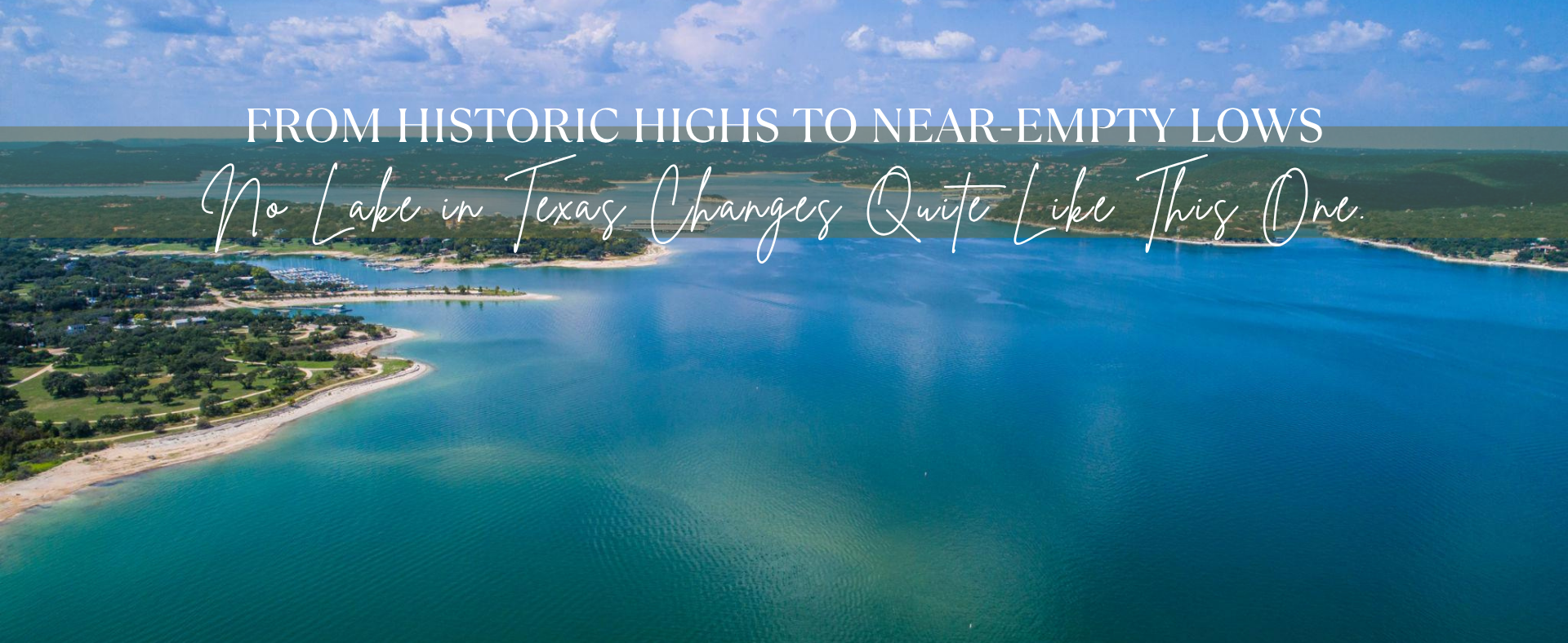
Lake Travis · Water Levels · Texas
A Lake That Never Makes Up Its Mind
From record floods to near-dead-pool drought, Lake Travis swings harder and faster than any lake in Texas — and the last two decades have been its wildest chapter yet.
Ask anyone who lives on Lake Travis about the water level and you'll get a shrug and a story. Maybe it's the summer they drove a boat through what used to be a parking lot. Maybe it was watching their dock sink to the bottom during a flood, or watching it rest on dry ground during a drought. The lake doesn't sit still — and the numbers prove it.
Since records began at Mansfield Dam in 1942, Lake Travis has ranged from a record high of 710.44 feet above mean sea level to a historic low of 614.18 feet — a swing of nearly 96 vertical feet. That's the difference between a full reservoir and a ghost town of exposed limestone.
Record high
710.4 ft
December 1991
Record low
614.2 ft
August 1951
All-time range
96.3 ft
Across 85 years of data
The full picture: 80 years of extremes
The chart below shows the annual high and low water level at Mansfield Dam for every year on record. The green line traces the yearly peaks; the rust line shows the yearly troughs. Years with a dramatic vertical gap between them are the years the lake earned its reputation.
Annual high and low water level, Lake Travis at Mansfield Dam, 1942–2026 (feet above mean sea level)
The record high: Christmas 1991
On December 25, 1991, Lake Travis hit 710.44 feet — its highest recorded level ever. The lake had been climbing all year after a series of heavy rains in the Hill Country, and by the end of December it had spilled over every metric that usually defines "full." The maximum conservation pool sits at 681 feet; on Christmas Day 1991, the lake was nearly 30 feet above it.
The early 1990s were exceptional: in February 1992, the lake was still at 704.68 feet. In June 1997, it reached 705.11 feet again. Three times in one decade, Lake Travis exceeded 700 feet — something that hadn't happened since 1957.
"On Christmas Day 1991, Lake Travis sat nearly 30 feet above full pool — the highest it has ever been in recorded history."
The record low: the drought of the 1950s
The 1950s were defined by a catastrophic Texas drought. By August 1951, Lake Travis had fallen to 614.18 feet — its lowest point ever recorded. The following July, the lake barely recovered, sitting at 614.85 feet. For two consecutive summers, the lake hovered just above dead pool.
This kind of sustained, multi-year drawdown is different from a flash drought. The 1950s low was the product of years without adequate rainfall across the Edwards Plateau. It would take a major flood year — 1952 saw the lake climb 65 feet in a single year, from 614.85 in July to 679.72 in December — to break the cycle.
The last 20 years: feast and famine
No period in the lake's recorded history has been as volatile as the years since 2005. The chart below shows annual highs and lows for 2005–2026. The story is not a smooth line — it is a jagged series of crashes and recoveries that would have seemed impossible to predict year to year.
Annual high and low water level, 2005–2026 (feet above mean sea level)
2007: The flood year
In January 2007, the lake sat at 644 feet — nearly 40 feet below full pool. By July, it had climbed to 701.52 feet. That 57-foot rise in seven months is one of the largest single-year swings on record. Heavy spring and early-summer rains in the Hill Country sent water rushing down the Pedernales and Colorado rivers, filling the lake faster than anyone expected. Boat ramps that had been closed for months reopened overnight. It is the kind of reversal that defines Lake Travis.
2007 — 57.4-foot swing
January low: 644.1 ft → July high: 701.5 ft · One of the largest single-year reversals on record
2011–2014: The long drought
What followed 2007 was a decade-long cycle of highs and lows, but nothing prepared the region for the sustained drought of 2011 to 2014. By November 2011, the lake had dropped to 626 feet. It never recovered. Through 2012, 2013, and into 2014, the annual high barely crept above 643 feet — meaning even the best months of those years were still nearly 40 feet below full pool.
2013 — lowest in 60 years
September low: 618.6 ft · The lake hadn't been this empty since the drought of the 1950s
By September 2013, the lake sat at 618.56 feet — a level not seen since the 1950s drought. Marinas had moved their docks three times trying to follow the retreating waterline. The LCRA imposed mandatory water restrictions across the region. Some coves that had been boat lanes for decades became hiking trails.
2015: The flood that ended the drought
In May 2015, it rained. And then it kept raining. The Memorial Day floods sent walls of water down every creek in the Hill Country. Lake Travis rocketed from 623 feet in January to 676 feet by December — a 53-foot recovery in a single year. The drought was over, but the dramatic swing was another reminder of how quickly this lake changes.
2015 — 53.5-foot recovery
January low: 623.3 ft → December high: 676.8 ft · Memorial Day floods ended a 4-year drought
2018: The fastest rise
By September 2018, the lake was falling again — sitting at 653.8 feet, down from a January high of 669 feet. Then October happened. One month of flooding, driven by back-to-back storms across the Highland Lakes watershed, pushed the lake to 704.39 feet — a rise of more than 50 feet in a single month. It was the fastest one-month rise in the modern record, and the second time in history the lake exceeded 700 feet in the post-2000 era.
October 2018 — fastest single-month rise
September: 653.8 ft → October: 704.4 ft · 50.6 feet in one month
The swing chart: biggest year-over-year ranges
The following chart ranks the years with the largest gap between their annual high and annual low. It shows which years the lake was the most volatile — not just high, and not just low, but unpredictably both. Post-2000 years are highlighted in green; earlier years in blue.
Top 10 largest annual swings between high and low water level (feet)
What this means for the future
The pattern that emerges from 80 years of data is not a lake that slowly fills and slowly empties. It is a lake that can gain 50 feet in a month and lose 40 feet in a year. The Hill Country geology — thin soils, hard limestone, fast runoff — means every significant rain event either misses entirely or hits at full force.
Climate projections for Central Texas suggest this volatility will intensify: longer dry periods punctuated by more extreme rainfall events. If the 2011–2014 drought and the 2015 and 2018 floods felt like outliers, the data suggests they may instead be a preview of normal.
Lake Travis has never been a placid reservoir. It is a weather gauge for the entire Edwards Plateau, and right now it is telling us the swings are getting wider.
Check out this article next